
Remote sensing and mapping
Historical aerial and satellite imagery, GIS maps of vegetation and ecological networks, delivered ready to use, also as subcontractor.
Your need
You need to map habitats or reconstruct how they have changed, without using your own resources.
What you get
- Current or historical vegetation and land-cover maps, and the analysis of their changes
- Maps of ecological networks: core areas, corridors and barriers
- GIS layers and methods notes, in your formats
How we work
We combine photo-interpretation, deep learning applied to aerial imagery, including swisstopo archives, and field checks.
For consultancies, we work as subcontractors, integrated into your team and schedule; the relationship with your client remains yours.
For public authoritiesFor associations and institutionsFor environmental consultancies
This service in practice
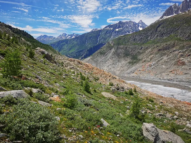
Eight decades of vegetation at the edge of the Aletsch Glacier 2026
Archives since 1943, surveys repeated in 2024 and aerial photographs analysed with deep learning: reconstructing vegetation change at the edge of the largest glacier in the Alps.
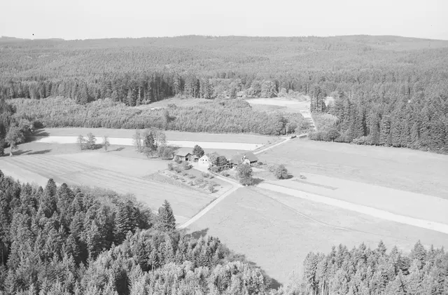
When forest history reveals biodiversity 2023
Botanical surveys and decades of aerial imagery to understand how the history of forest management shapes today's understorey plant communities.
Do you have a similar project?
Tell us about your context: we reply within two working days.