
Eight decades of vegetation at the edge of the Aletsch Glacier
Archives since 1943, surveys repeated in 2024 and aerial photographs analysed with deep learning: reconstructing vegetation change at the edge of the largest glacier in the Alps.
Tracking down, harmonising and repeating more than eight decades of vegetation surveys to measure the effect of climate change on the margins of the Great Aletsch Glacier.
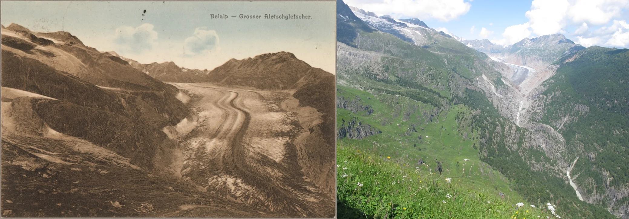
Since 1850, the Great Aletsch Glacier has retreated by almost 3.4 km, and it could lose up to 90% of its volume by 2100. Its margins are also among the best-documented areas in the Alps: vegetation has been monitored there since 1943. This project brought together these eight decades of observations to understand how vegetation responds to climate change, from the first colonisers of the moraines to heathland and Swiss stone pine and larch forests.
Making the archives speak
Vegetation surveys carried out between 1943 and 2005 were tracked down in publications, theses, unpublished work and field notebooks: 38 permanent plots and around 240 one-off surveys. They were digitised and harmonised into a single database, making it possible to compare them for the first time. Historical photographs from public archives and private collections completed the dataset.
Back to the field
In 2024, the surveys were repeated over an area of about 10 km by 2 km, between 1,550 and 2,850 m. The permanent plots were re-marked to make future monitoring easier, and the locations of the historical photographs were found and photographed again. At 53 sites on the recent moraines, the microenvironment was measured in detail: microtopography, slope, aspect, soil temperature and moisture, substrate resistance and infrared imagery.
Mapping change
A deep learning model was trained to recognise vegetation units on aerial photographs. It produced comparable maps for 1970–1986 and for 2024, which were compared with the vegetation map drawn up in the field in the late 1960s.
A project combining archives, field surveys, environmental measurements, remote sensing and modelling to measure change over eight decades.
Deliverables
- Harmonised database of vegetation surveys from 1943 to 2024
- Permanent plots re-marked for future monitoring
- Vegetation maps for 1970–1986 and 2024
- Master's thesis (Universities of Lausanne and Neuchâtel, 2025)
- Talk at the Umwelt- & Biodiversität seminars, University of Salzburg (2026)
Do you have a similar project?
Tell us about your context: we reply within two working days.
Other projects
A century of change in alpine flora 2026
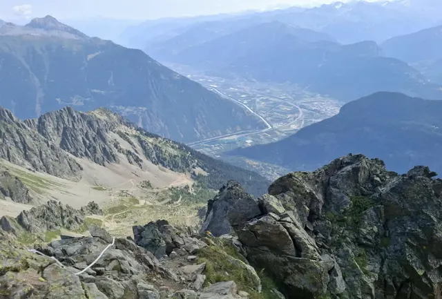
A century after the surveys of botanist Denis Coquoz, seven high-altitude sites in the Vallée du Trient Regional Nature Park were revisited to measure how their flora has changed.
At the heart of alpine migration 2026
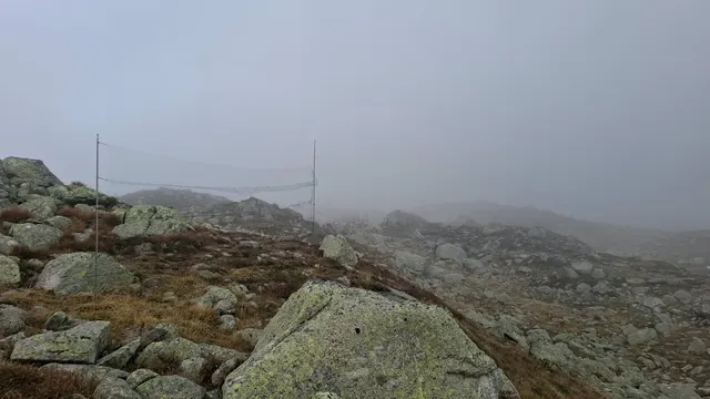
Monitoring of migrating birds and raptors at the Pfitscher Joch in Tyrol, combining observation, scientific marking and monitoring.
Training observers, understanding birds 2026
Theoretical training in handling wild birds, focusing on ethics, law, safety and good practice.